Who's on Line
We have 3 guests and no members online
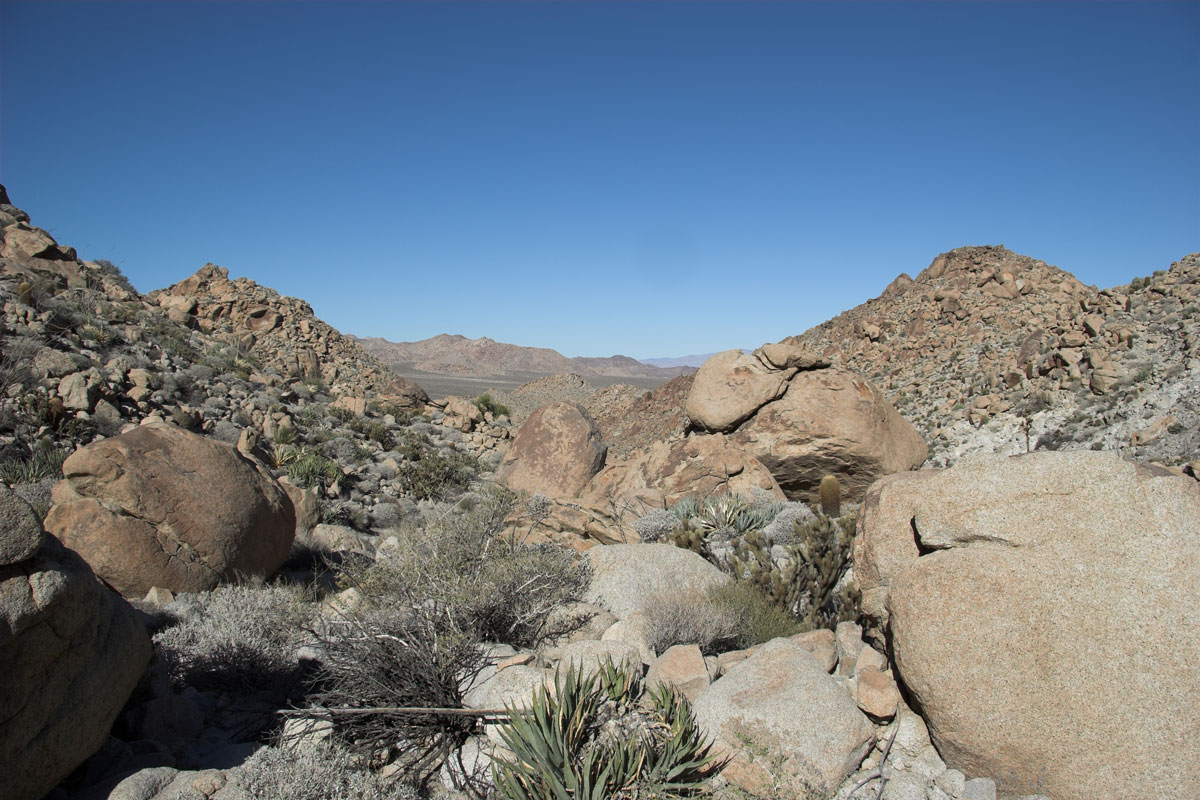
Always wanted to get on the ridge which is west of Devils Canyon and west of 8. The hike started about 2 miles north west in a canyon . I'll call it Condo Canyon, many rocked up caves from illegals ..I think.
In reality in April the canyon is full of rattlers..so it could also be rattle snake canyon. For me its a good canyon to hike. Lots of boulder hoping for the first 1.75 miles with good elevation gain.
Once your at the end of the canyon before dropping into Devils canyon you can go up , around over whatever.
Some links here from other hikes into the canyon bellow.
So for this one here we go.
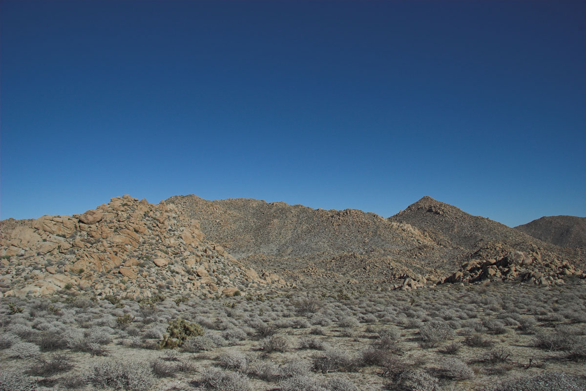
Looking back climbing up through the canyon.
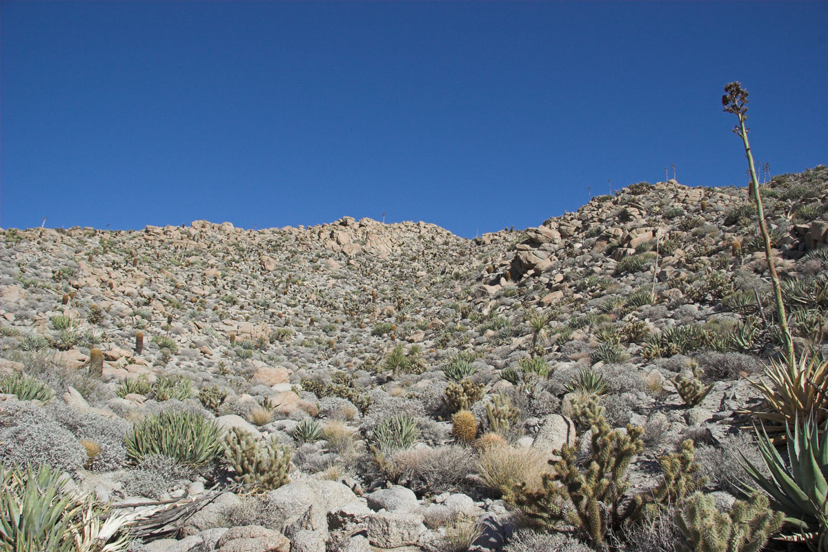
So 1.75 mile up and into the canyon its time to got east and up. Go up this.
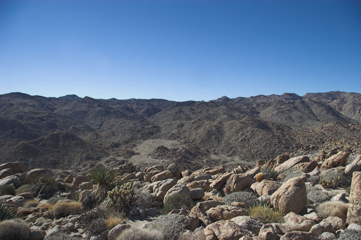
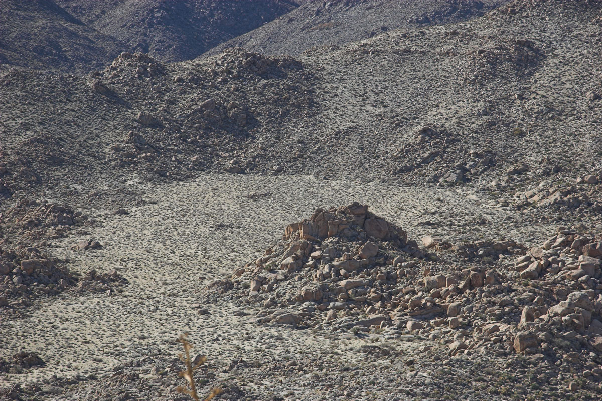
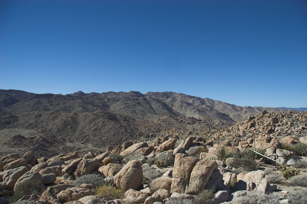
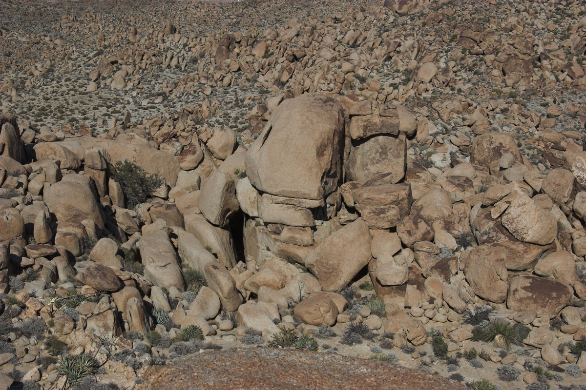
Once on top here's some shots! Need to check out the rock outcropping on the way down. ( center) and close up
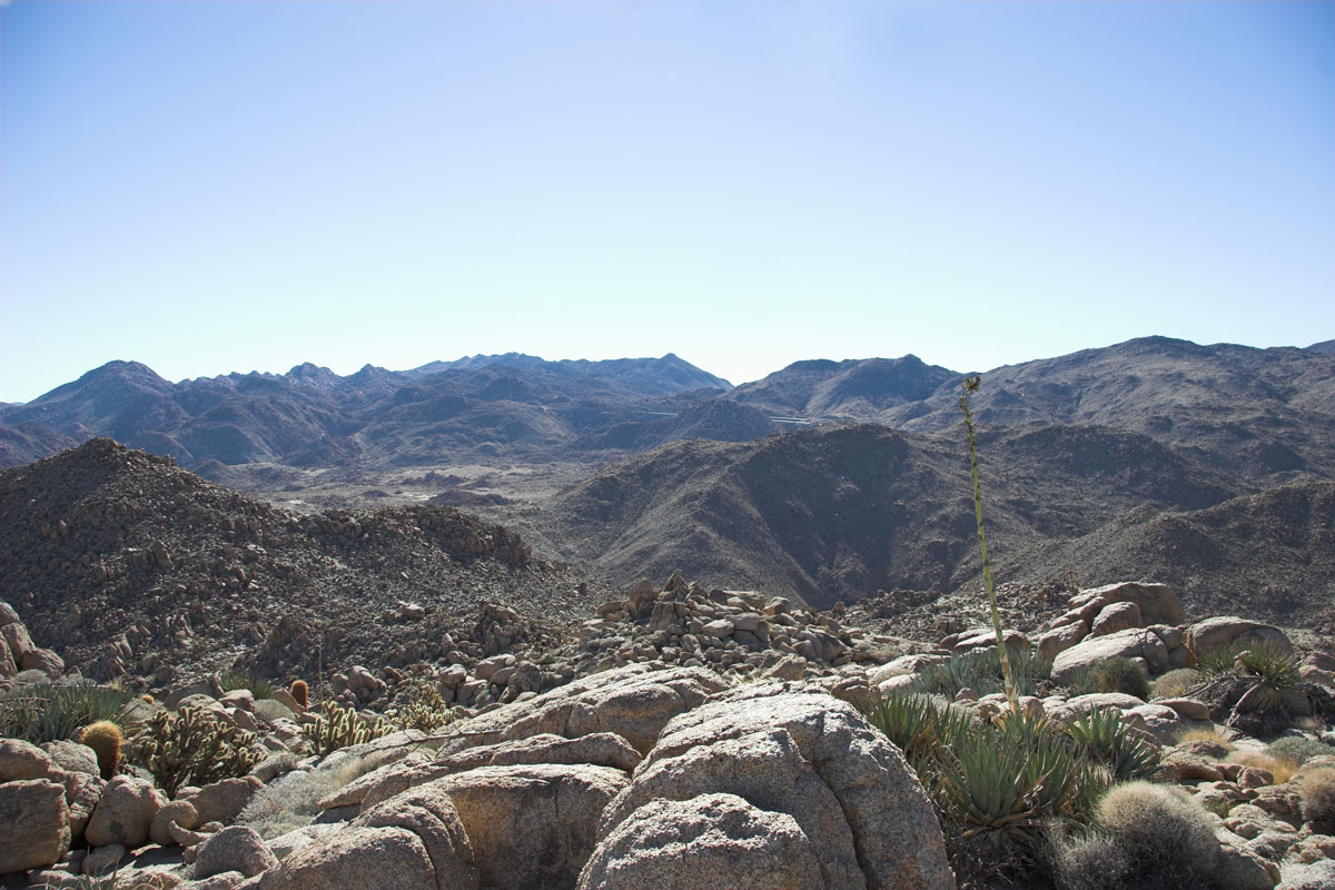
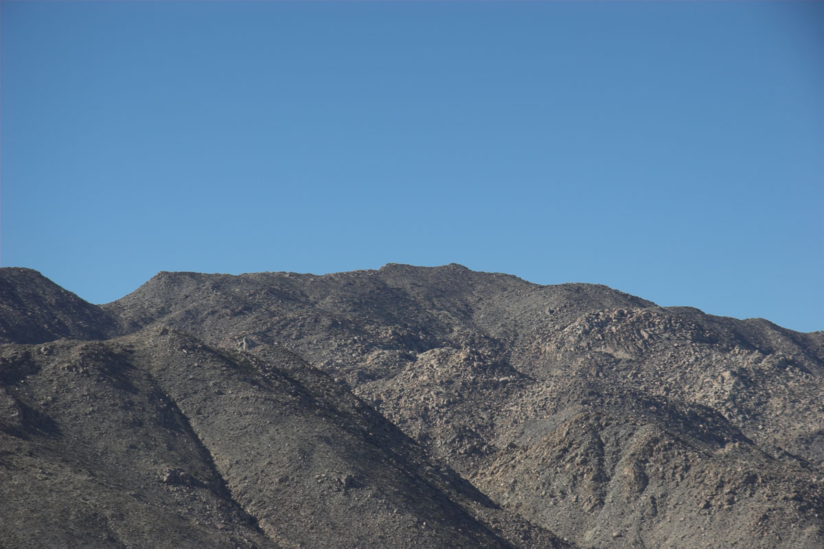
Looking east ( South East) Here's Devils Canyon Peak and a close up.
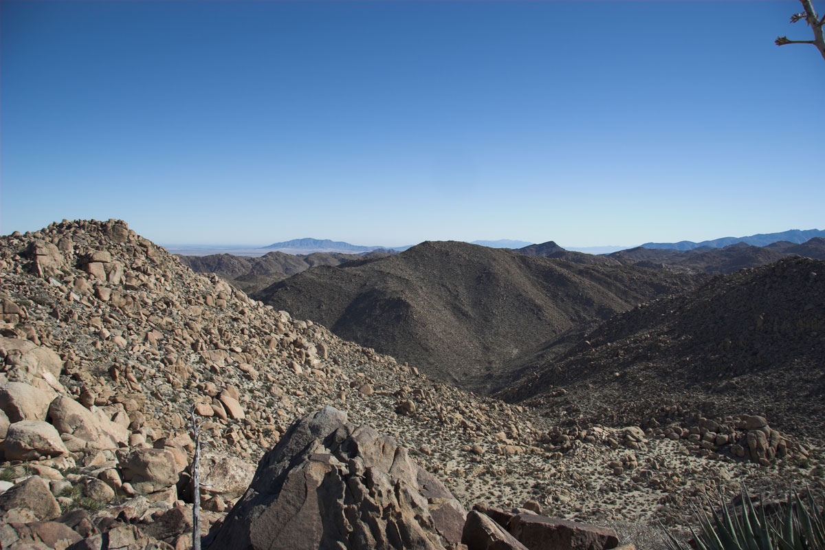
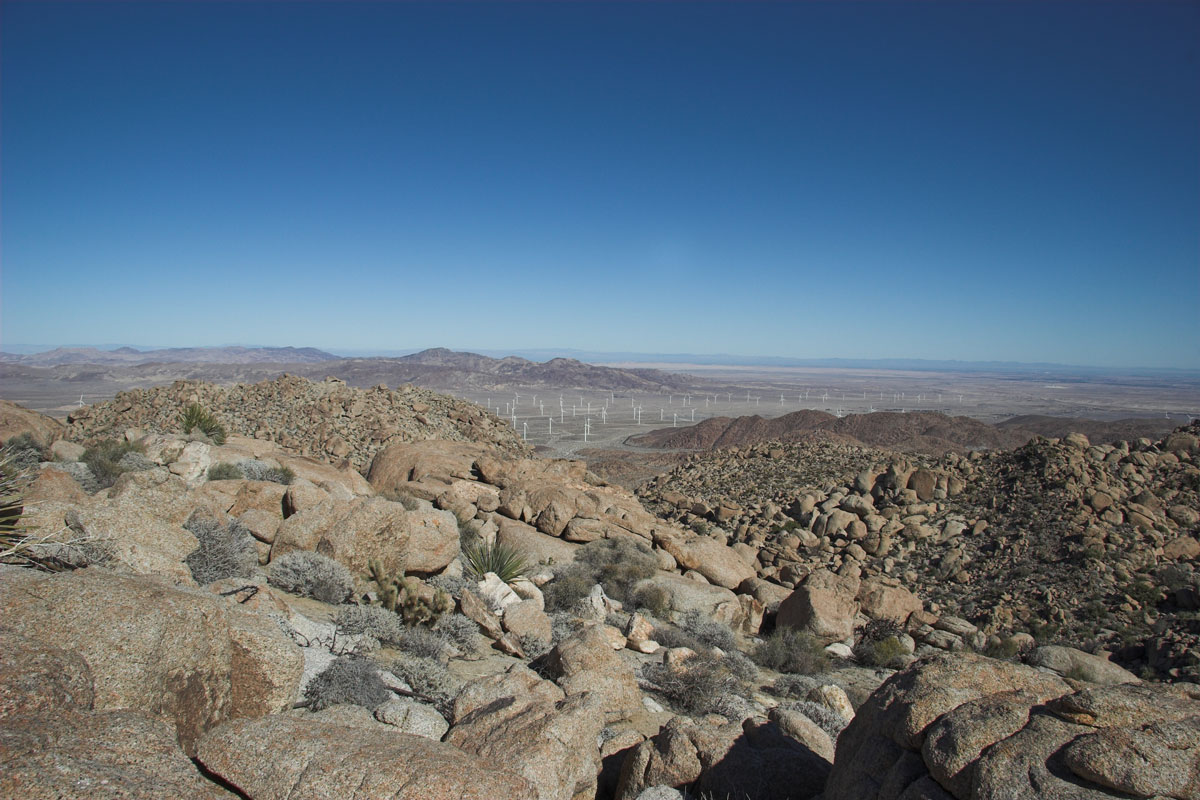
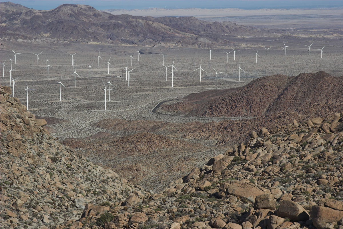
Some other shots, looking north east, Some windy mills.
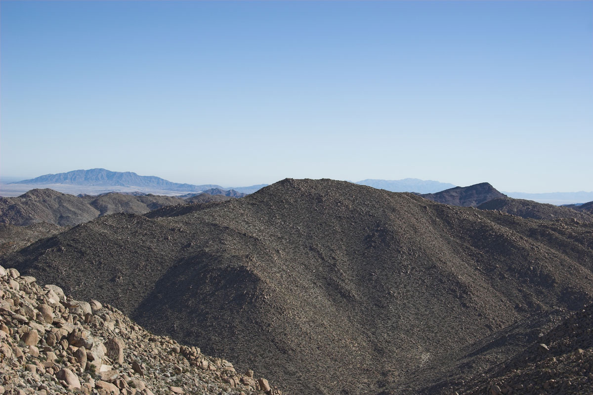
Mountain Springs, Mexico! ,
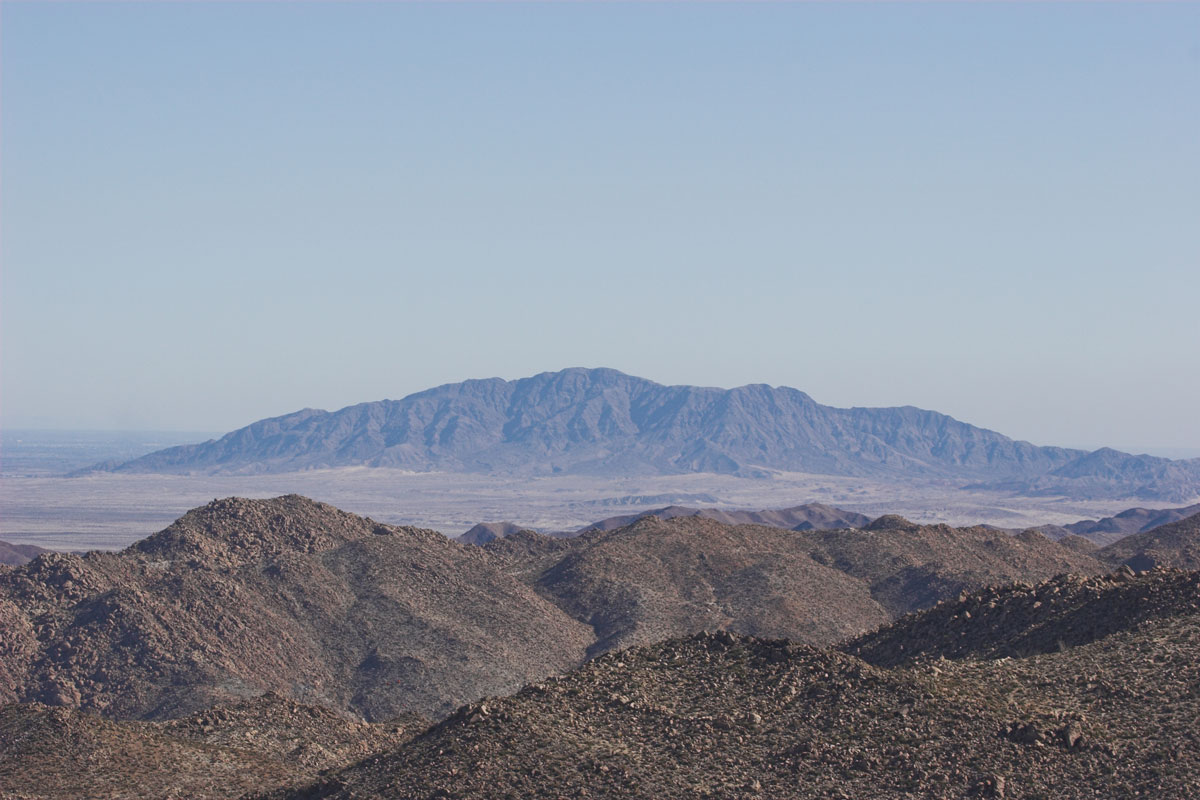
Jacumba mountain. Will peak this in January, Close up of Jacumba Mountain
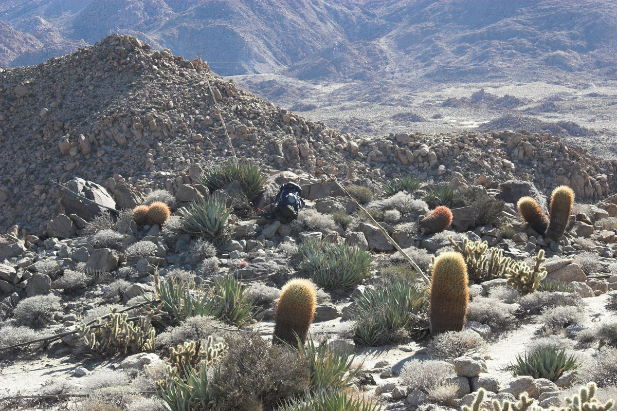
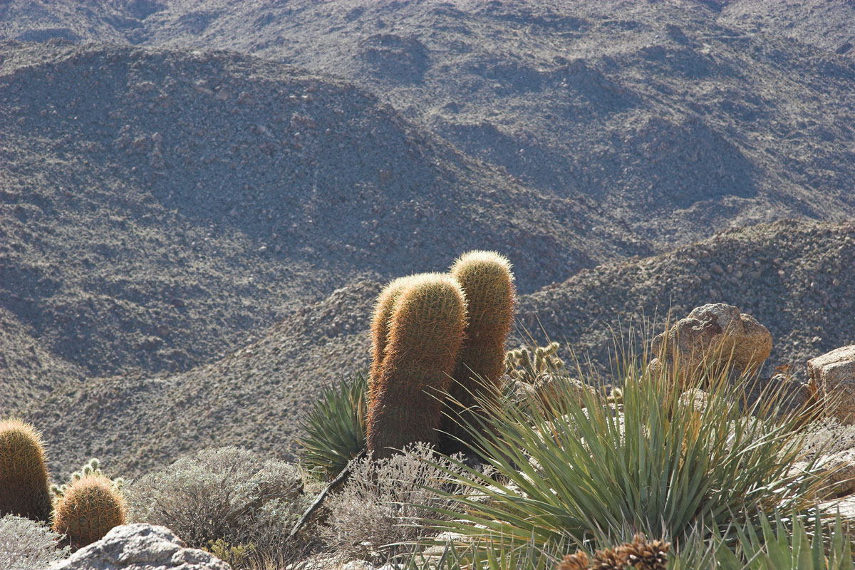
Rocks down below to the north, Backpack and cactus friends, The 3 amigos!
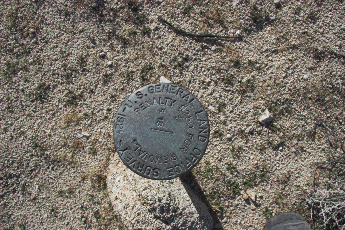
Mo Rocks , Ok Off the Mountain and next to the Boulder pile hey a survey marker!. There was 2 of them. They line up with the SD - Imperial County border!
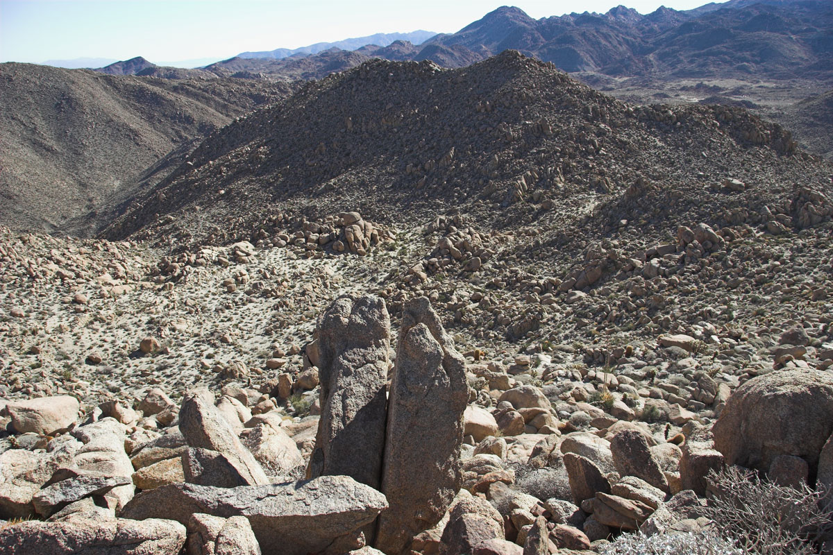
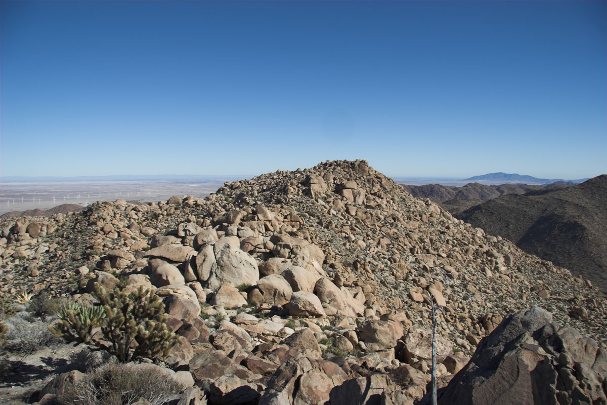
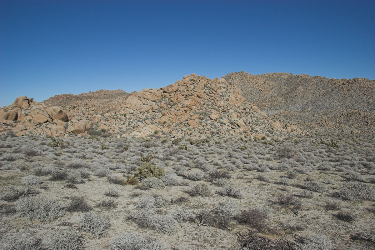
The Boulder pile looking east to the mountain I went up., A better the picture of the mountain.
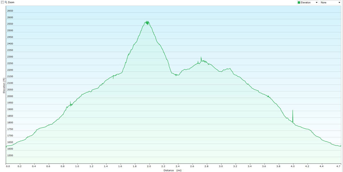
Elevation Chart